Journey Through Time, from the Last Ice Age to Today.
Explore 10 beautifully detailed geological maps that reveal Europe as our ancestors knew it after the last Neanderthals disappeared. Discover Doggerland, ancient ice lakes, prehistoric flora, iconic megafauna, and key archaeological sites.
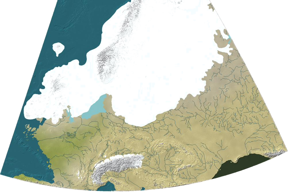
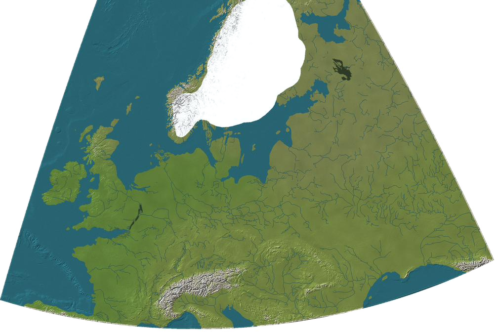

10 Geological Maps
Travel from the Last Ice Age to present day across beautiful reconstructions of prehistoric Europe.
Flora, Megafauna & Archaeology
Learn about prehistoric ecosystems, iconic animals, and key archaeological sites per period.
Interactive Overlays
Switch present-day coastlines and country borders on and off.
Deep Dive Research Essays
Compiled from the latest geological, palaeoecological and archaeological research.Last Glacial Maximum
25,500–17,500 BCEMeiendorf
12,650–11,950 BCEAllerød
11,950–10,750 BCEYounger Dryas
10,750–9,700 BCEEarly Preboreal
9,700–9,200 BCELate Preboreal
9,200–8,700 BCEEarly Boreal
8,700–8,000 BCELate Boreal
8,000–7,200 BCEAtlantic
6,500–4,500 BCEPresent Day
0 BCEJoin the journey
Sign up for the mailing list and be among the first to explore Ancient Europe as it comes to life. Discover ancient landscapes, changing coastlines, prehistoric cultures and the people who shaped them — through new maps, discoveries and stories. Get early access, follow the journey, and explore the ancient world with us.